Lagoon Community Mapping for Adaptation to Flooding and Access to Water

Project Location: Lagos State, Nigeria

Introduction

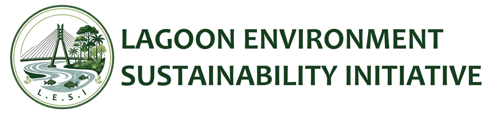
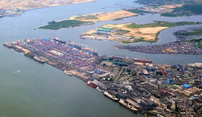
Lagoon community mapping empowers local residents to identify flood-prone areas and water access points, aiding adaptation strategies in vulnerable communities in Lagos State. This participatory approach fills data gaps in resource-limited settings, supporting flood modeling and equitable resource planning.
Our Interventions
  1. Flood Adaptation Mapping: Communities map drainage systems, flood points, and blocked drains. In data-scarce areas like Lagos, this enables detailed urban flood models for risk management, validated against real events.
  2. Water Access Mapping: Residents locate water points like boreholes, wells, and taps via participatory GIS, highlighting gaps in informal settlements. In the lagoon communities, this exposes inequalities despite high reported access rates from private wells and boreholes, guiding interventions for droughts and sanitation.
Implementation Steps
  1. Engage communities to sketch features like water infrastructure and flood zones.
  2. Validate with GPS tools and digitize in platforms like QGIS.
  3. Analyze for risk layers and share maps with authorities for adaptation plans.

This project is at the planning stage and active fundraising is ongoing. It is planned to be piloted in 5 lagoon communities across Lagos State.

Interested in supporting this project or partnering with us?

Leave a Reply

Your email address will not be published. Required fields are marked *